← Home · Underground Excavations

Geotechnical Analysis for Soft Ground Tunnels in Missoula

Together, we solve the challenges of tomorrow.

LEARN MORE →

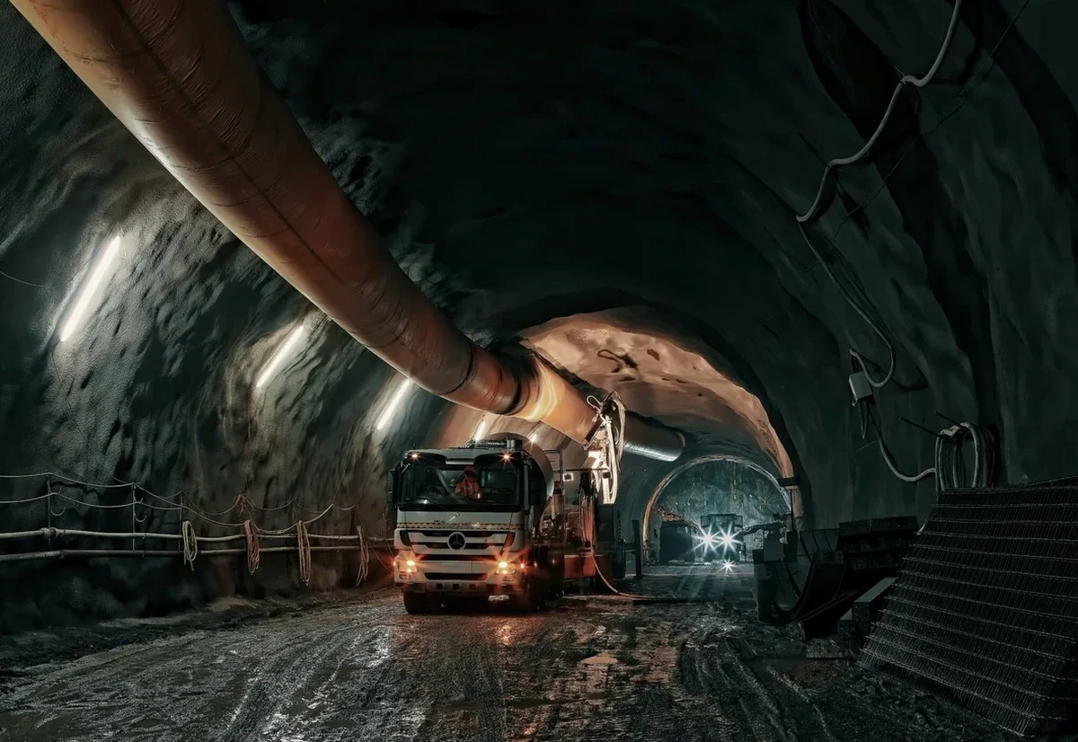
Tunneling through the Missoula Valley floor presents conditions radically different from the bedrock of the Rattlesnake foothills. Down near the Clark Fork River, the subsurface is dominated by fine-grained glacial Lake Missoula sediments—silts and clays that can stand for a short time but deform significantly under sustained load. Uphill, toward the South Hills, you might encounter weathered Belt Supergroup argillite within the first ten feet, which changes the entire face stability calculation. We’ve seen preliminary desktop studies miss these transitions entirely, leading to over-excavation and schedule delays that could have been avoided with targeted borings. Our approach ties every CPT test profile to the specific geomorphic unit being crossed, because a tunnel alignment that spans from the floodplain to the alluvial fan demands more than a single representative cross-section.

In Missoula’s glaciolacustrine deposits, stand-up time is measured in hours, not days—and it varies block by block along the same tunnel drive.

How we work

I recall a stormwater interceptor project along the Bitterroot Branch rail corridor where the contractor hit a lens of saturated organic silt at 18 feet—material that had not appeared in the reconnaissance borings spaced 200 feet apart. The face began to ravel within minutes, and the crew had to switch from open-face excavation to a shielded method midway through the drive. That experience reinforced why we insist on continuous sampling through the full tunnel horizon, not just at inferred crown and invert elevations. For soft ground analysis in Missoula, we correlate undrained shear strength from field vane tests with laboratory triaxial results on undisturbed Shelby tube samples. When the alignment passes beneath existing infrastructure—such as the aging sanitary sewers in the University District—we supplement the investigation with MASW surveys to map shear wave velocity contours and identify zones where ground loss could propagate to the surface.
Geotechnical Analysis for Soft Ground Tunnels in Missoula
Technical reference image — Missoula

Local considerations

The most common misstep we see in Missoula tunneling projects is treating the entire alignment as a homogeneous soft clay when, in reality, the glacial lake sequence contains discontinuous silt seams and occasional dropstones that create hard spots at the face. A contractor who sets up an earth pressure balance machine calibrated for uniform clay will struggle the moment the cutterhead hits a boulder or a sand lens, risking face blowout and surface settlement that can crack century-old brick buildings downtown. Another critical error is underestimating groundwater recharge from the Clark Fork aquifer system during spring runoff; we’ve measured pore pressures 30% higher in April than in September at the same invert elevation. Without a seasonally adjusted dewatering plan backed by in-situ permeability tests, even a well-designed support system can become overwhelmed.

Need a geotechnical assessment?

Reply within 24h.

Email: contact@geotechnicalengineering1.org

Typical values

ParameterTypical value
Undrained shear strength (Su) range12–60 kPa (varies with clay fraction)
Plasticity Index (PI)8–35%
Natural moisture content18–45%
Coefficient of earth pressure at rest (K0)0.5–0.7 (NC clays)
Modulus of subgrade reaction (kv)5–30 MN/m³
Groundwater pH and sulfate exposure classACI 318 Class S1–S2 typical
Maximum past pressure (σ’p)80–250 kPa (OCR 1.5–4.0)

Related services

01

Tunnel Alignment Geophysics

MASW and electrical resistivity tomography along the proposed drive to map buried channels, paleo-landslide debris, and the bedrock surface without excessive borings.

02

Advanced Laboratory Testing

Consolidated-undrained triaxial with pore pressure measurement and one-dimensional consolidation tests to define the compression index and coefficient of consolidation for settlement predictions.

03

Face Stability Analysis

Limit equilibrium and finite element modeling of tunnel headings using Su profiles calibrated to field vane and CPTu data, following the framework of Leca & Dormieux.

04

Settlement Trough Prediction

Empirical and numerical estimates of surface settlement using Gaussian trough methods (Peck) and PLAXIS 2D/3D, validated against local case histories in Missoula Valley soils.

Regulatory framework

IBC 2021 Chapter 18 (Soils and Foundations), ASCE 7-22 Section 12.6 (Site-Specific Ground Motion), ASTM D1586 (Standard Penetration Test), ASTM D2487 (Unified Soil Classification System), ASTM D4767 (Consolidated-Undrained Triaxial)

Questions and answers

What makes Missoula’s soft ground different from tunneling clays elsewhere in the Northwest?

The difference comes down to the depositional history. Missoula sits on sediments from Glacial Lake Missoula—rhythmically bedded silts and clays that were not overconsolidated by ice loading the way Seattle’s glacial tills were. This means the local soils exhibit lower in-situ horizontal stress and shorter stand-up time at the face. We also find scattered erratics dropped from icebergs, which create abrupt hard spots during excavation. Our lab runs a full suite of Atterberg limits and one-dimensional consolidation tests to distinguish these lacustrine clays from residual soils derived from Belt rock weathering.

Do you handle groundwater control design for soft ground tunnels in Missoula?

Yes, dewatering and groundwater control are integral to every tunnel analysis we deliver. We install vibrating wire piezometers in dedicated boreholes and monitor them through at least one full hydrological cycle before finalizing the design. In the Missoula Valley, the Clark Fork River aquifer and the shallow unconfined water table respond quickly to snowmelt, so we base dewatering flow rates on April-to-June peak conditions. The report includes recommended well spacing, pump capacity, and drawdown predictions using analytical solutions and, for complex stratigraphy, MODFLOW modeling.

What is the typical cost range for a soft ground tunnel geotechnical investigation in Missoula?

For a comprehensive soft ground tunnel investigation in Missoula—covering deep borings, CPTu soundings, geophysical surveys, laboratory triaxial and consolidation testing, and a full interpretative report with face stability and settlement analyses—the budget typically falls between US$4,730 and US$17,460. The range depends on tunnel length, depth, number of access points, and whether groundwater monitoring over multiple seasons is required. A shorter utility tunnel with two boreholes and basic lab work will be at the lower end; a longer transit tunnel crossing beneath the Clark Fork with continuous CPT and advanced numerical modeling will approach the upper end.

Location and service area

We serve projects in Missoula and surrounding areas.

View larger map