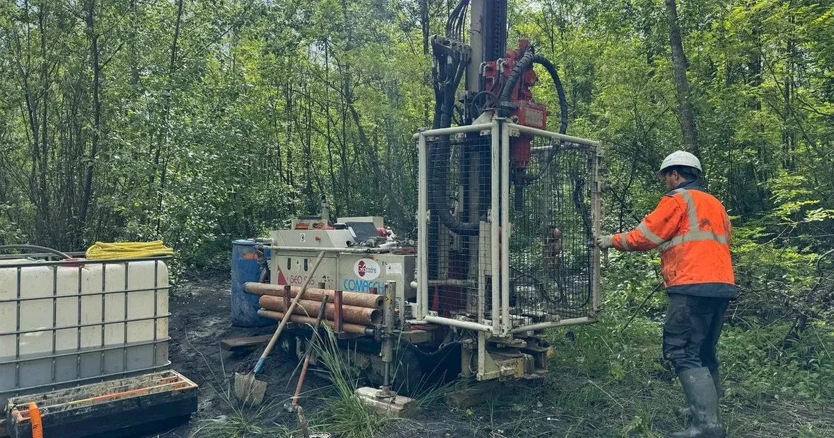
Missoula sits on the deep lacustrine and fluvial sediments of ancient Glacial Lake Missoula — silts, clays, and sands that can exceed 100 meters in depth near the Clark Fork River. When a contractor breaks ground near the Bitterroot River confluence, the soil mechanics study must account for high water tables and compressible layers that routine penetration testing alone won't fully characterize. Our laboratory runs the full suite of ASTM D2487 classification, consolidated-undrained triaxial, and one-dimensional consolidation to give the geotechnical engineer the parameters needed for settlement prediction and bearing capacity. For sites on the Missoula Valley Aquifer, we combine these results with permeability data from in-situ permeability testing to assess drainage and dewatering requirements before deep excavation.
Testing a Missoula silt from 8 meters depth without consolidation data is like designing a foundation without knowing the flood history — the settlement number will be a guess, not an engineering parameter.
How we work
At 978 meters above sea level, Missoula's freeze-thaw cycles and seasonal groundwater fluctuation demand a level of precision in soil mechanics study that goes beyond simple index testing. The valley's interbedded sequences of coarse-grained outburst flood deposits and fine-grained lake-bottom silts create complex drainage conditions — a project on the north side near Rattlesnake Creek often encounters colluvium over glaciolacustrine clay, while a site downtown hits sandy gravel over silty clay. Our laboratory quantifies this variability through full particle-size distribution, Atterberg limits, and direct shear testing, reporting friction angle and cohesion under drained conditions. For projects requiring dynamic analysis, we run strain-controlled cyclic triaxial tests to evaluate modulus reduction and damping curves tailored to the Missoula soil profile.
Regulatory framework
ASTM D1586-18 (Standard Penetration Test — field correlation basis), ASTM D2487-17e1 (Unified Soil Classification System), ASTM D4318-17e1 (Atterberg Limits), ASTM D2850-15 (Unconsolidated-Undrained Triaxial), ASCE 7-22 (Minimum Design Loads — Missoula seismic parameters), IBC 2021 (International Building Code, adopted with Montana amendments)
Questions and answers
How much does a soil mechanics study cost for a Missoula commercial project?
For a typical Missoula commercial lot requiring Atterberg limits, grain-size analysis, and consolidated-undrained triaxial on two specimens, the laboratory fee ranges from US$2,690 to US$5,850 depending on the number of samples, depth intervals, and whether consolidation or dynamic testing is included. A detailed proposal is prepared after reviewing the boring logs and the geotechnical engineer's testing schedule.
Which ASTM standards apply to a soil mechanics study in Montana?
The core standards are ASTM D2487 for classification, ASTM D4318 for Atterberg limits, ASTM D2850 or D4767 for triaxial strength, and ASTM D2435 for consolidation. The IBC 2021, adopted with Montana-specific amendments, references ASCE 7-22 for seismic design parameters that govern when dynamic soil testing is required for Missoula County sites.
How do Missoula's glaciolacustrine soils affect laboratory test selection?
The interbedded silts and clays deposited by Glacial Lake Missoula often contain thin sand lenses that drain during sampling, altering the in-situ degree of saturation. We recommend CU triaxial with pore pressure measurement rather than UU alone, and consolidation testing on every cohesive layer thicker than 0.5 meters that falls within the stress influence zone. This prevents underprediction of settlement in the compressible lake-bottom deposits that underlie much of downtown Missoula.