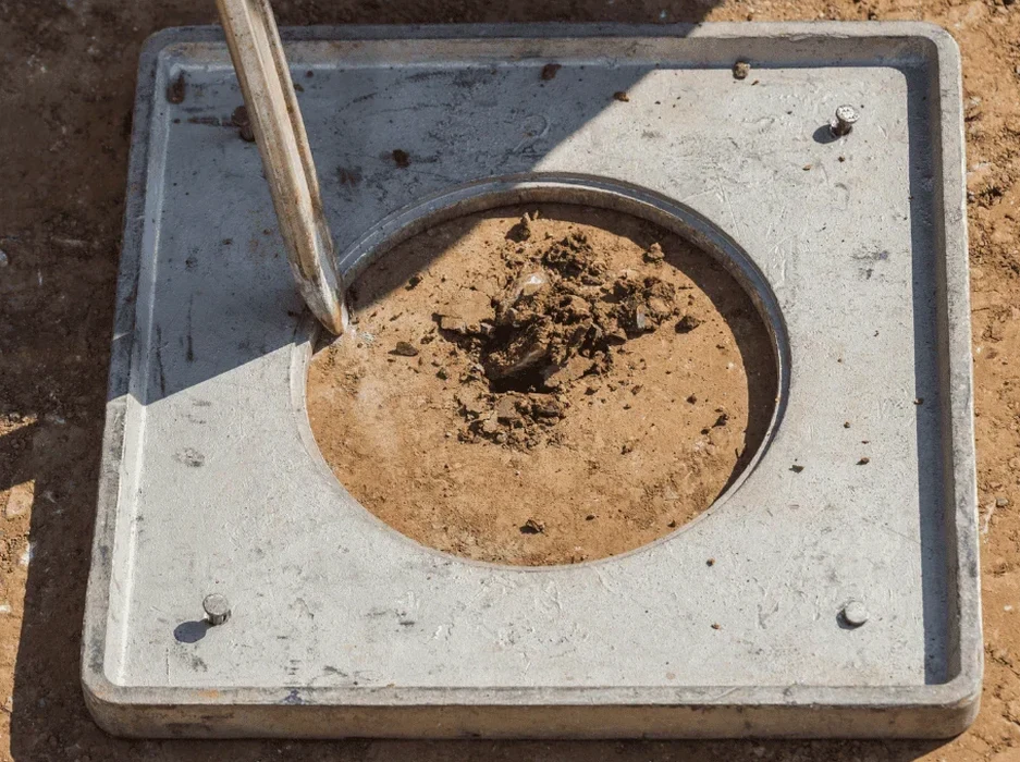
Missoula's urban footprint expanded rapidly from its railroad origins into the broad valley carved by Glacial Lake Missoula, leaving a complex legacy beneath today's construction sites. Much of the city sits on Quaternary alluvium deposited by the Clark Fork River and its tributaries, where loose sands and silts accumulated in terraces that now host residential subdivisions and commercial corridors. When a developer breaks ground near Reserve Street or in the Mullan Road corridor, the soil column often reveals saturated granular layers that demand a rigorous soil liquefaction analysis before structural design proceeds. Our laboratory team processes hundreds of samples annually from these Missoula formations, applying standard penetration testing data to evaluate cyclic stress ratios that determine whether a site requires ground improvement. The seismic history of western Montana, including the 1959 Hebgen Lake event, reminds every geotechnical engineer that Missoula's quiet appearance belies real earthquake potential. We combine field investigation results with CPT testing profiles to build a defensible liquefaction assessment that satisfies Missoula County building officials and protects the long-term investment in any structure.
Liquefaction in Missoula's alluvial soils is controlled by groundwater depth and fines content — two variables that change drastically between spring runoff and late summer.
Local considerations
The Clark Fork River floodplain deposits that underlie much of downtown Missoula and the university district contain clean sands and silty sands deposited during Holocene meandering, and these units rank among the most liquefaction-prone materials in western Montana. A magnitude 6.5 scenario on the Mission Fault system could generate ground motions sufficient to trigger cyclic mobility in saturated lenses below shallow foundations, causing differential settlement that compromises structural integrity. Missoula's building stock includes historic masonry dating to the 1890s alongside modern steel frames, and both typologies suffer when the ground temporarily loses bearing capacity. The cost of neglecting a soil liquefaction analysis becomes visible in the aftermath of a seismic event: cracked slabs, tilted footings, ruptured utilities, and months of forensic investigation that could have been avoided with a proper pre-construction assessment. Our reports include liquefaction potential index mapping across the entire building footprint, giving the design team a clear picture of where risk concentrates and what mitigation measures — from densification to deep foundations — make economic sense.
Questions and answers
What does a soil liquefaction analysis cost for a typical Missoula residential lot?
For a standard single-family residential parcel in Missoula, the field investigation with SPT drilling and the subsequent liquefaction analysis report typically ranges from US$2,330 to US$4,090, depending on the depth of potentially liquefiable layers and the number of borings required to characterize the site.
How does Missoula's alluvial geology affect liquefaction risk compared to other Montana cities?
Missoula sits on a deep basin filled with Glacial Lake Missoula sediments and post-glacial Clark Fork River deposits, which creates a thicker column of potentially liquefiable material than bedrock-shallow cities like Butte. The high groundwater table during irrigation season and spring melt further elevates the risk because saturation is a prerequisite for liquefaction triggering.
Can standard SPT data from a regular geotechnical investigation be reused for liquefaction analysis?
Yes, provided the SPT was performed with proper energy calibration and the borings reached the saturated granular strata. Our lab can re-evaluate existing field logs if the blow counts were recorded at the correct intervals and the samples are still available for fines content verification, which is essential for the Seed-Idriss cyclic resistance calculation.