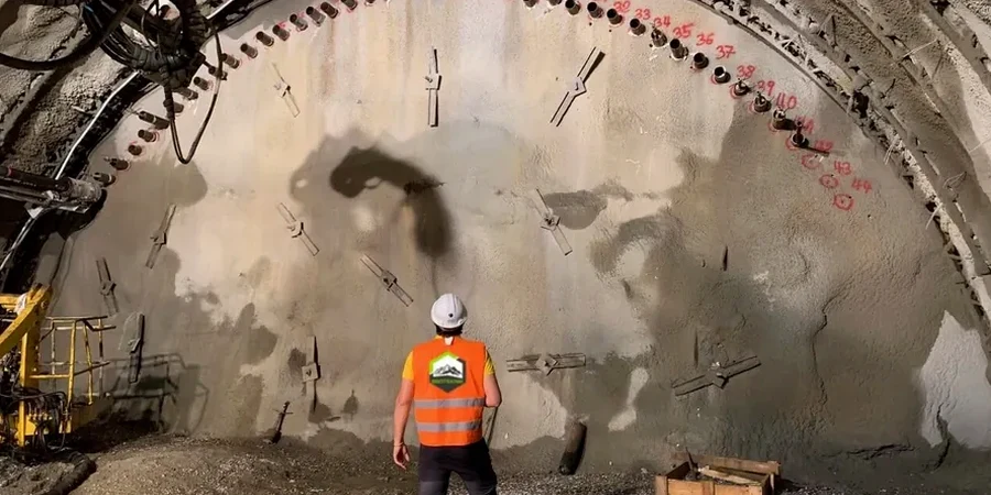
Around Missoula, most folks don't realize how fast a dry bench cut in those old Glacial Lake Missoula silts can slake when we get three days of rain in October. We've seen it on jobs near Rattlesnake Creek—a cut that looked bulletproof on Tuesday starts spalling by Friday. That's why we don't just install inclinometers and walk away. Our team ties test pits into the monitoring plan early, so we already know where the silt-clay transition sits before the first crack appears. The Clark Fork basin has a rhythm, and you learn it after enough projects between Reserve Street and the university area. We combine manual readings with automated data loggers because when the water table jumps, you need the story before the morning huddle.
A $1,200 inclinometer casing often saves a $40,000 shoring repair when Missoula's perched groundwater shows up where the boring logs said it wouldn't.
Local considerations
The mistake we see repeat in Missoula is treating every excavation like it's on flat, dry ground out by the Wye. A contractor will set up a single row of monitoring points along the top of cut and call it good. Then the Missoula aquifer—which is surprisingly shallow across much of the valley floor—finds a lens of coarse outwash, and suddenly the bottom of the excavation is boiling and the shoring starts to rack. By the time you see distress at the surface, the movement at depth has already chewed through your factor of safety. Without multi-point borehole extensometers and piezometers at two depths, you're flying blind. And if you're adjacent to a BNSF right-of-way or a Missoula Water main, that blindness gets expensive in a hurry. The IBC and local building department expect a rational monitoring plan tied to the geotechnical baseline report, not a checkbox exercise.
Questions and answers
What does excavation monitoring typically cost in Missoula?
For a typical 15- to 25-foot commercial excavation in the Missoula valley with four inclinometer stations, two piezometers, and weekly manual readings over a two-month period, plan on a range between US$960 and US$2,700 depending on access, depth, and whether automated telemetry is required. A bigger deep cut with real-time monitoring and multiple building survey arrays will run toward the upper end.
How often do you take readings during excavation?
During active excavation within 5 feet of subgrade, we read inclinometers and piezometers daily. Once the cut reaches final grade and shoring is braced, we step back to twice weekly for the first month, then weekly until backfill. If rain exceeds half an inch in 24 hours—common in May and June—we add an extra reading cycle because the Glacial Lake Missoula silts respond fast to infiltration.
Do you provide monitoring for small residential excavations?
We do, especially for hillside lots in the Rattlesnake and South Hills areas where a 10-foot cut can affect the neighbor's foundation. Typically that means two inclinometer casings, a few settlement points on the uphill structure, and a simple crack gauge array. The approach is scaled to the risk—you don't need the full urban infill protocol for a single-family walkout basement, but you do need enough data to prove the cut is stable if a question ever comes up.