Missoula's development from a railroad town in the late 1800s to a modern mountain hub has spread construction across dramatically different terrains — from the dense glacial till near the Clark Fork River to the alluvial fans spilling out of Hellgate Canyon. What lies beneath isn't always obvious, and that's where electrical resistivity surveys fill a critical gap. We run these geophysical scans when the project calls for depth-to-bedrock mapping, groundwater table detection, or soil stratification without tearing up the site. For projects near the Rattlesnake Creek drainage or the Bitterroot floodplain, a test pit campaign might confirm topsoil and fill thickness, but when the question is what sits 30 or 60 feet down across a half-acre parcel, resistivity profiling gives you the continuous section that scattered boreholes can't. We've used vertical electrical sounding on everything from subdivision road design to pre-purchase due diligence for commercial lots, and the data consistently helps owners avoid surprises during excavation.
Resistivity sections often reveal what scattered boreholes miss — a buried channel, a perched water table, or a bedrock trough that changes the entire foundation strategy.
Local considerations
At 3,209 feet elevation, Missoula sits in a valley where the water table rises and falls seasonally by several feet — and where the Missoula floods of the last Ice Age carved channels now buried under 40 feet of sediment. Skipping a resistivity survey on a site with undocumented fill or buried organics is a gamble on foundation performance. We've seen projects where the geotech report relied on three borings that all happened to hit gravel, but the resistivity line between them showed a 12-foot-thick lens of soft clay that would have caused differential settlement under the slab. Vertical electrical sounding costs a fraction of what a single deep boring runs, and the continuous profile catches lateral variability that discrete sampling simply cannot. For Missoula contractors working near the Clark Fork or in the Orchard Homes area, where old irrigation ditches and buried debris are common, combining resistivity data with targeted SPT drilling gives you both spatial coverage and direct soil classification — the strongest foundation for a defensible geotechnical recommendation.
Questions and answers
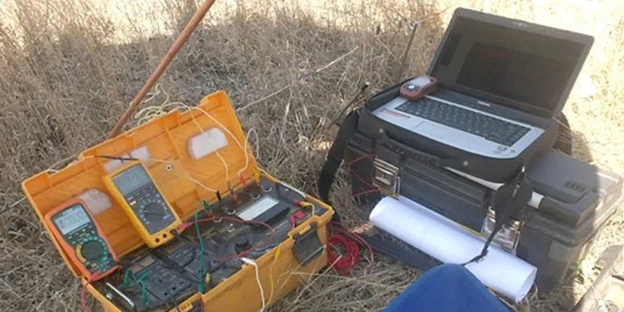
What depth can electrical resistivity surveys reach in Missoula soils?
With a standard 400-foot Schlumberger spread, we routinely achieve investigation depths of 100 to 150 feet below ground surface. The actual depth of penetration depends on electrode spacing and the resistivity contrast between layers. In Missoula's glacial-fluvial deposits, dry gravel at the surface can limit current injection, so we sometimes wet electrode positions or use longer spreads to push deeper. For most foundation engineering questions — bedrock depth, water table elevation, thick clay lenses — the 50-to-100-foot range covers the zone of interest.
How much does a resistivity survey cost for a residential lot?
For a typical Missoula residential lot requiring a single VES sounding or one 200-foot ERT line, the survey runs between $720 and $970. That includes field mobilization, data acquisition, processing, and a PDF report with interpreted cross-sections. Larger commercial sites with multiple lines or deeper investigation targets are quoted based on the total linear footage and number of electrode spreads. The cost is generally well below what you'd spend on a single deep boring, and the continuous profile often eliminates the need for additional drilling.
Will the survey work if the ground is frozen or wet?
Electrical resistivity works in all weather conditions — we survey year-round in Missoula. Frozen ground at the surface can increase contact resistance, but we mitigate this by using saltwater-soaked electrode holes or longer electrode stakes to reach below the frost line. Wet or saturated conditions actually improve data quality because lower contact resistance means better current injection and higher signal-to-noise ratio. The main limitation is standing water or snow deep enough to prevent safe electrode placement, which we assess during the site walk.
How do you calibrate resistivity values to actual soil types?
The reference range for this service in Missoula is US$720 - US$970. The final price depends on the project scope and volume.